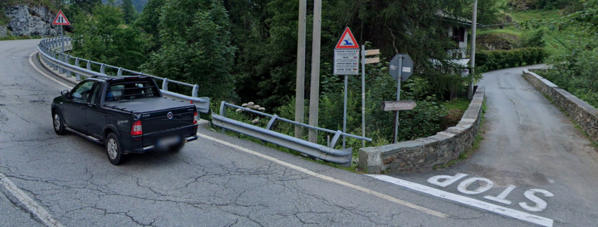
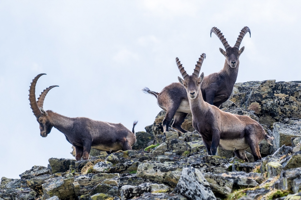
The trail begins along a dirt road: after a hairpin bend, you see the beginning of the path, which climbs up the above forested slope from the beginning with a considerable gradient.
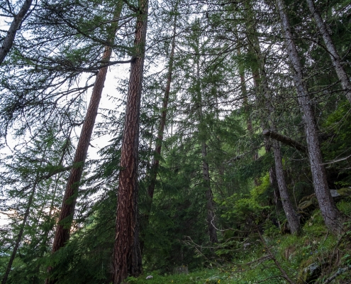
The path climbs the steep forest
Continue to climb in continuous turns until you reach a cliff face, at about 1791m, when you turn left and continue north. We come out of the trees at about 1900 meters, continuing on steep grassy meadows where huts can be seen above: these are the lower (2012m) and upper (2137m) Ciampono huts.

At 1900m, the lower and upper Ciampono huts can be seen
Continuing in the direction of these, two streams are cut…
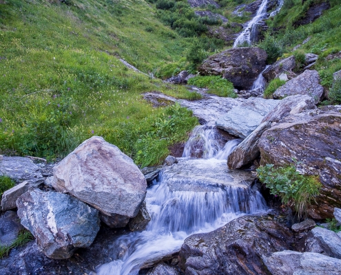
At 1960m, two streams are forded.
…and, continuing to climb, reach the lower Ciampono/Òndrò Tschampónó huts (2012m).

The cabins of Ciampono Inferiore, 2012m
Turning eastward, you will also soon reach the upper Ciampono/Òbrò Tschampónó huts (2137m).

The lodges of Ciampono Superiore, 2137m
The trail continues into the gorge, and heads toward a distant rock wall that you climb, turning momentarily south, from left to right , along a very marked ledge.

The rocky bastion that contours to the right
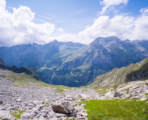
At the end of the cenga, you access the vast upper shelf, heading decidedly back east (you will not change direction again until you reach the Pass).

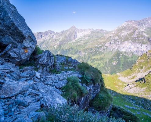
From this point the treacherous upper shelf begins.
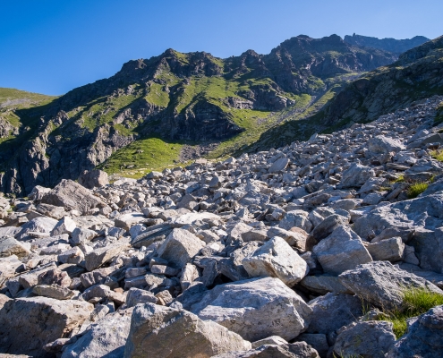
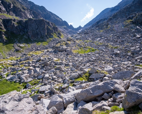
From this point on, from the marker depicted in the photo above, the trail traces become very labile: you can find trail markers here and there, but they are so widely spaced and so difficult to ferret out among the thousands of stones (and, especially, in the morning with the sun in front of you!) that you have to perforce proceed by intuition, or (better) by relying on the GPS track loaded on a navigator.
Broadly speaking, from here on, the path is divided into three parts.
Part 1: from the rampart to the gully
Above us we can see, in the middle of the gully, a large hump: the trail goes over this hump on the right.
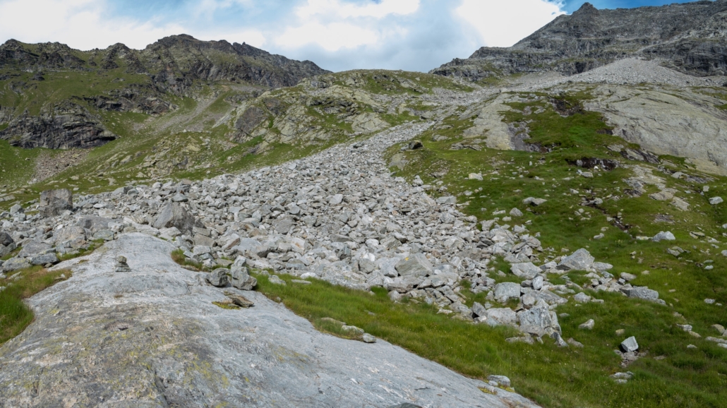
The path climbs to the right of the central hump
At first, the vignettes lead us up toward the center of the gully. When you come to lapping at the tail of a scree sloping down from above, you have to climb it by keeping to the left without ever stepping into it, staying on the edge between scree and grass. You ascend a first rocky step, and meet a second scree slope, which you cut by keeping it to the right. You can see in the image below how the path laps the first scree slope on the right, and the second scree slope on the left, until it comes over the hump that you round from the right.
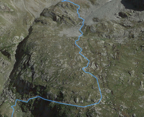
Part 1: the vast slope
Part 2: toward the first snowfield
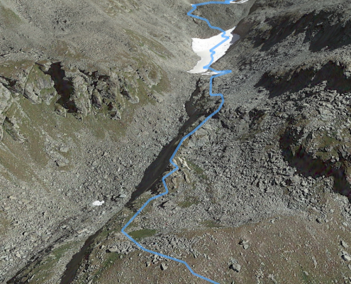
Part 2: the ascent to the first snowfield
As soon as you pass the second scree, you pass a rocky step from which, at about 2628m, the still distant Rissuolo Pass finally appears, at the end of the long gully that you have to cross to reach it.
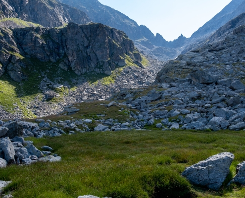
This is the point where the passage finally appears.
Climb by standing to the right of the small valley, following the yellow bolts that lead up to the height of the first snowfield. This snowfield will have to be overcome by climbing it: attempting to contour it perhaps leaves your feet dry but is definitely more strenuous and also dangerous, since the sides of the gully are very landslidey. Meglio affrontarlo direttamente, la pendenza non è rilevante. It is important, however, to choose carefully the spot on which to climb it, and to avoid doing so where you can see (by looking carefully) that below the edge of the snowfield there is a void due to melted snow. Better to continue a little further until reaching a point where the snowfield rests firmly on the ground.
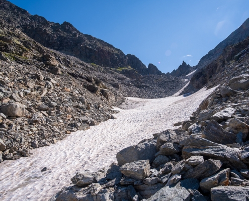
Climbing the first snowfield by standing in the middle
Part 3: the second snowfield and the pass
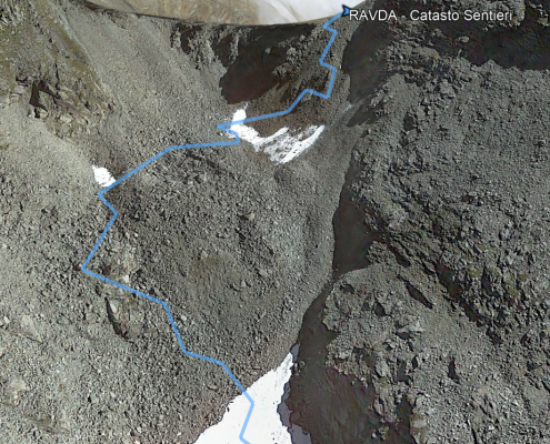
Part 3: the ascent to the second snowfield following the left variant
Once past the first snowfield, and back on the rock, you have to decide how to get over the rocky hump above.
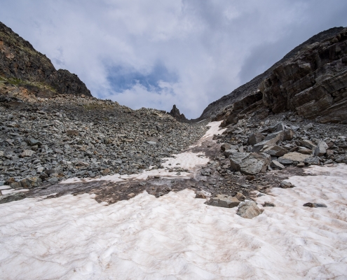
After the snowfield, you have to go over the hump above
There are two alternatives, to get over the rocky hump clearly evident in the photo above: either stay in the center, and follow the tracks indicated by the yellow trail markers of Trail 8, or follow the official GPX trail of Trail 8, which curiously makes us move to the left, where at some point we will meet the red markers that mark the entrance to the Alta Via Tullio Guidoni trail coming from the left side of the mountain. The Alta Via Guidoni is from this point up to the Pass in common with Trail 8. I have always followed, going up, the red marks of the left trail (i.e., the Alta Via), because it seems less steep to me. On the way back, however, I always followed the right track (the yellow marks), because when descending they are very visible and entice to be followed :-)
The second snowfield (if any) is much steeper than the first: if it is icy, crampons are mandatory. You go straight up it, in the direction of the pass that is to the right of the central pinnacle seen in the photo below (right where the cloud is).

The second snowfield, the pass is to the right of that pinnacle
Past the snowfield, you again encounter some indicator bolts on the steep and very landslidey final slope. The photo below shows the pinnacle and Rissuolo Pass again, now within reach.
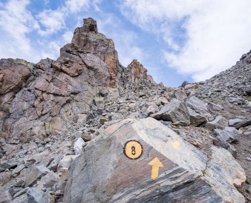
The final tracks
It is with tongue hanging out and no small amount of satisfaction that we finally reach Rissuolo Pass (2930m) .
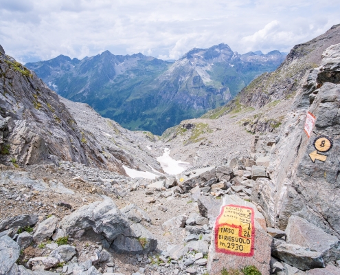
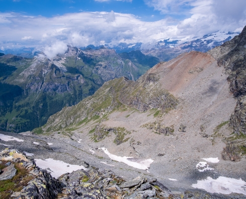
Rissuolo Pass, looking towards Gressoney
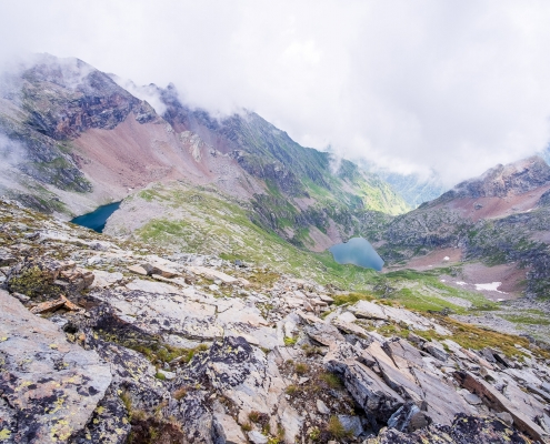
Looking toward Valsesia, Corno Bianco (3320m) and Lago Nero can be seen.

Looking toward Valsesia, Corno Bianco (3320m) and Lago Nero
Continuation to Punta Di Rissuolo (3104m)
From the pass, in about half an hour it is possible to reach in a southerly direction the above Punta Di Rissuolo (3104m). It is about 70 meters of elevation gain, to be covered by climbing up the wide rocky slope that rises south of the pass.
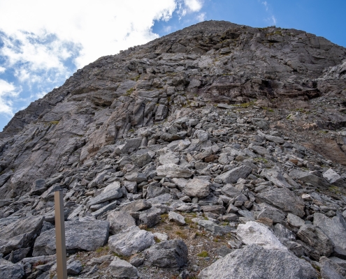
From the pass, the ascent to Punta di Rissuolo
At first there are some stone cairns, then these cairns disappear and you simply have to try to go upward. There are no special technical difficulties, so no mountaineering skills are needed, but one must be able to climb and especially descend down a rocky slope where very often one must rest one’s hands on the ground. It must be remembered that climbing is much easier than descending, so as soon as you pass a point where the ascent is particularly difficult, try immediately to see if you can descend it. If you do it the hard way, better to turn around and go back to the pass without risking any more!
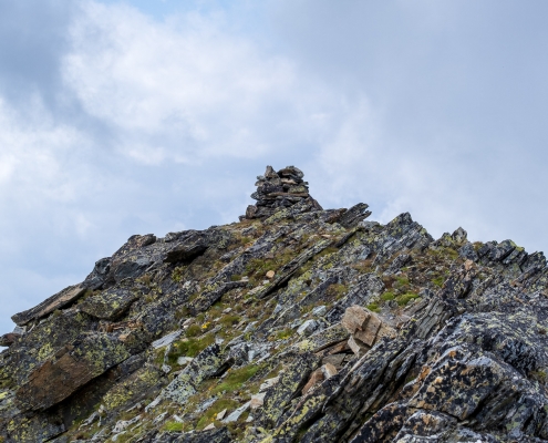
The little summit cairn of Punta di Rissuolo
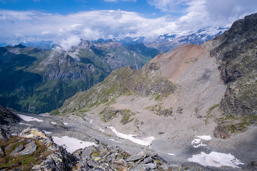
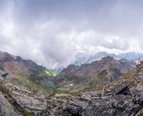
From Punta di Rissuolo, the view of the Ciampono valley

From Punta di Rissuolo, the view towards Black Lake, White Lake and Corno Bianco (3320m)


