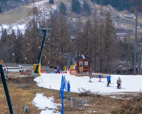
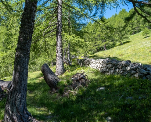
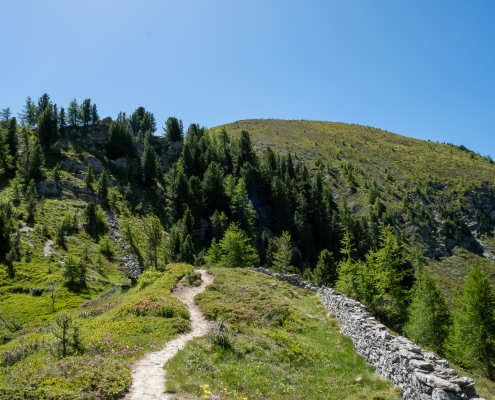
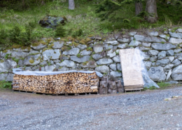
Climbing up from the parking lot along the paved road, just past the ski lift track, you will immediately encounter on the right a waymark pole with directions for Trail 3, which climbs up along a short trail bordered by stone walls.
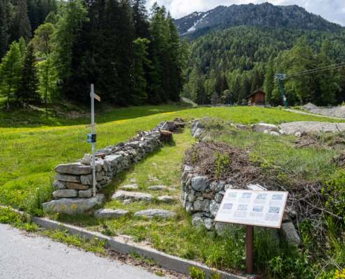
The stake marking the entrance to trail 3
The little wall ends almost immediately, and the trail seems to disappear: take the dirt road, which climbs up in twists and turns. There is an initial left turn that leads to a building, but you must continue to the right (there is a “3” with an arrow painted on the small wall).
The signage for trail 3
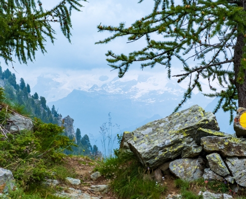
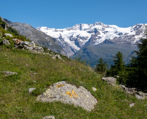
A second left turn is found heading toward a second building, and this time we have to go there: just before we get to the building, to the right of the dirt road, we see a wide trail going up into the woods (there is a yellow “3” marker on a boulder in the middle of the trail).
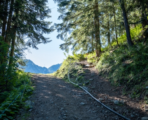
The trail starts to the right of the dirt road
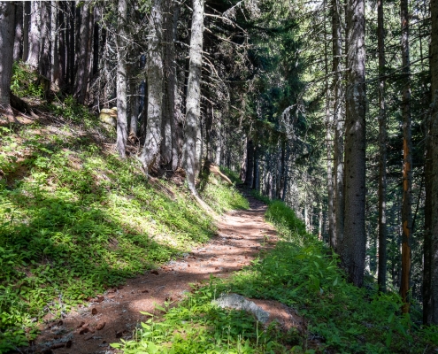
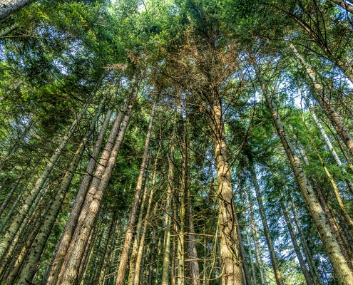
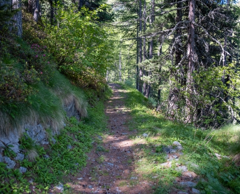
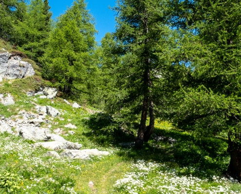
From here the real trail begins, which continues for a long stretch of twists and turns through the forest of very tall trees. You walk on a soft and very wide carpet that is perfectly maintained: a real pleasure to proceed
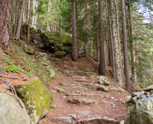
The beautiful initial section of the trail
At about 1825m we cross a trail coming from the left: a waymark pole tells us that we are crossing the 1W Walserweg trail, which from this point continues for a stretch in common with our 3.
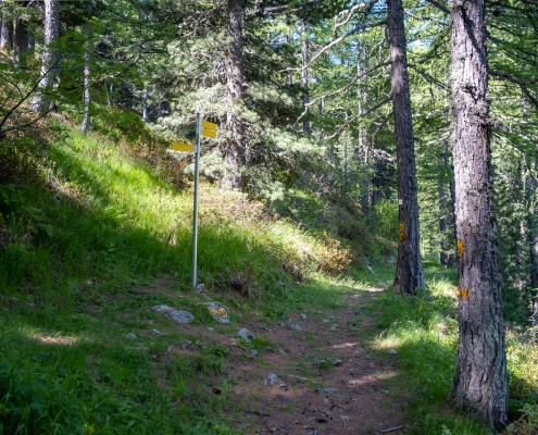
The 3/1W crossroads
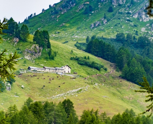
From here, proceed to the right for a section that is horizontal at first and descends for a very short distance: the huts of thelower Alpe Ranzola (1999m) are almost immediately glimpsed on the right at the top, which the trail, however, never touches.
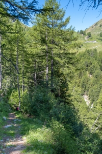
The trail descends for a short distance, the lower Ranzola huts appear at the top
Gradually move out of the trees, cross two nearly dry streams, at 1864m on guada a small, well-bodied stream and cut across the opposite slope.
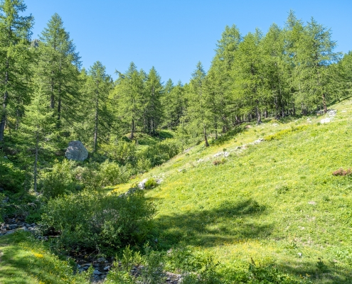
The stream that you wade through before moving to the other side
At the first left turn, at about 1897m, you cross a second junction with trail 1W, which leaves trail 3 and heads right, toward Ranzola Inferiore.
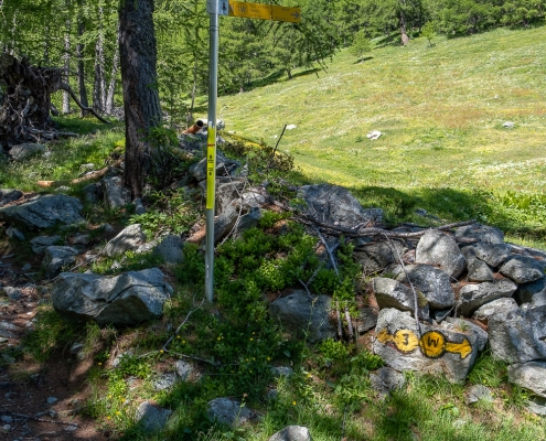
The junction with the 1W trail going to the right
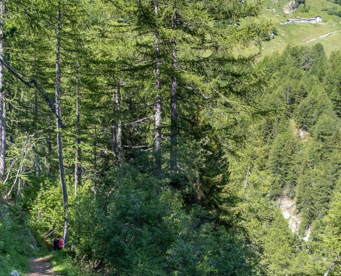
We continue straight for a stretch more, skirting a small stone wall: when the small stone wall ends, we cut right and go up the opposite pier again. We continue in this way, winding through increasingly sparse forest and two more shoulders, until at about 1997m the trail finally comes out of the trees.
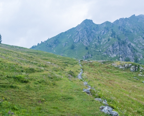
Toward Upper Ranzola
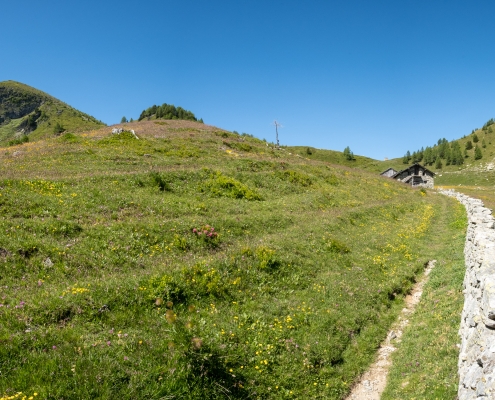
Once over the next bump, the very close huts ofAlpe Ranzola Superiore (2106m), and the small chapel on Colle Ranzola behind them, will immediately appear.
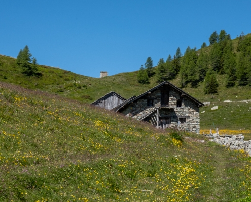
Upper Ranzola huts, behind them the pass
Pass to the left of the huts and climb the very easy grassy slope above (vague tracks, but not needed). This leads to the Colle Ranzola (2171m).
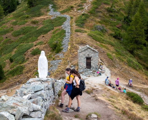
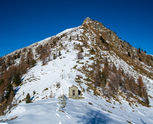
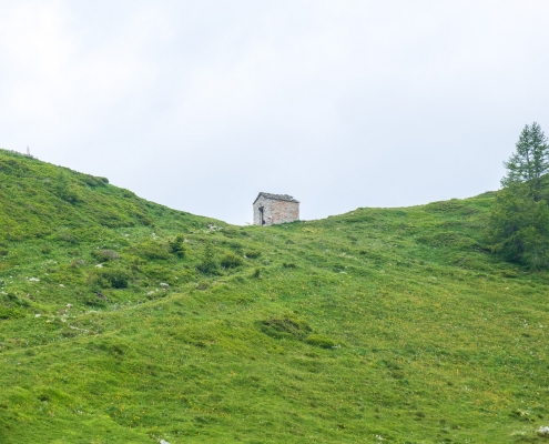
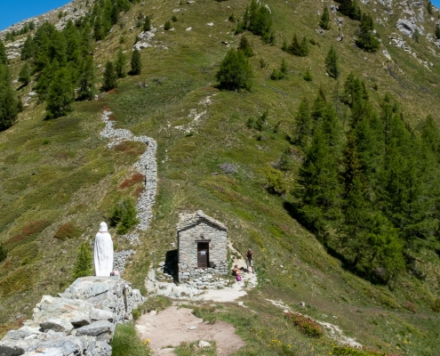
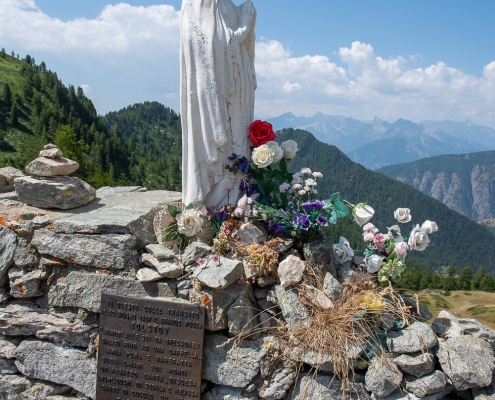
The chapel at the Ranzola pass
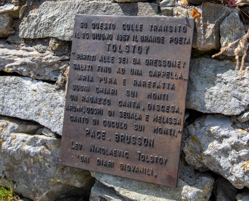
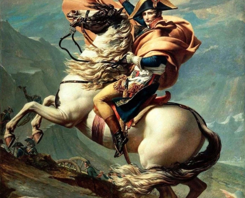
It is not only the plaque commemorating Lev Tolstoy’s passage in 1857 that is of historical interest: the dry-stone wall there is in fact what remains of a fortification erected in 1800 by Austrian and Russian soldiers to face the advance of Napoleon Bonaparte, coming over the Great St. Bernard Pass. Fun fact: This very famous painting by Jacques-Louis David depicts Napoleon at the very passage of the Great St. Bernard. Therefore, it can be said that in this image he was preparing to pass through Gressoney… even though, in reality, he never did (his loss!). This Rai VdA documentary delves into Napoleon’s passage through the Aosta Valley.
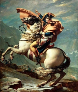
Napoleon at the Great St. Bernard Passage
Continuation to Punta della Regina
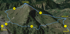
An almost obligatory continuation is to Punta della Regina (2387m): this is reached by following the steep but short trail 7A.
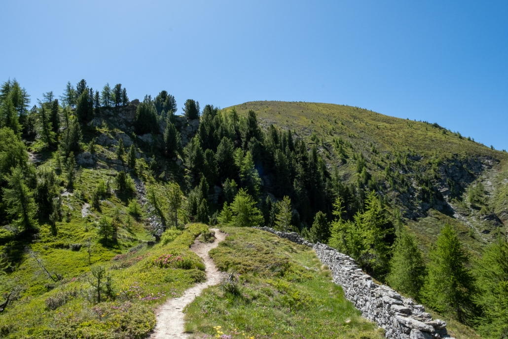
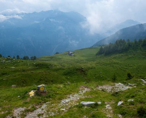
From the Pass, looking toward Punta della Regina
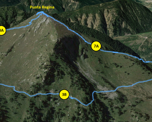
From the summit you can descend back to Ranzola pass via the same trail 7A, or you can descend the other side to the Lake Gombetta basin via trail 3A. After slightly passing Lake Gombetta, the trail splits in two: one branch goes left, the other right. Two alternative routes are therefore possible.
- The simple alternative is to return to Ranzola pass by taking the left direction, then walking a very short section of trail 3B that goes counterclockwise around the base of Punta Della Regina. Once at Ranzola pass, return to the valley via the same trail 3 made uphill. This will have made a “loop” by going up to Punta della Regina and then returning to the Ranzola pass by going around it.
- The longer alternative, however, takes the right direction, taking trail 3B up to the “Belvedere” and then down to the arrival of the chairlift Weismatten and the Carlo Mollino hut. When you get to the chairlift, you can return to the valley by following trail 2, which will bowl you down a few meters above the start of trail 3 made on the way up, closing a nice loop trail.
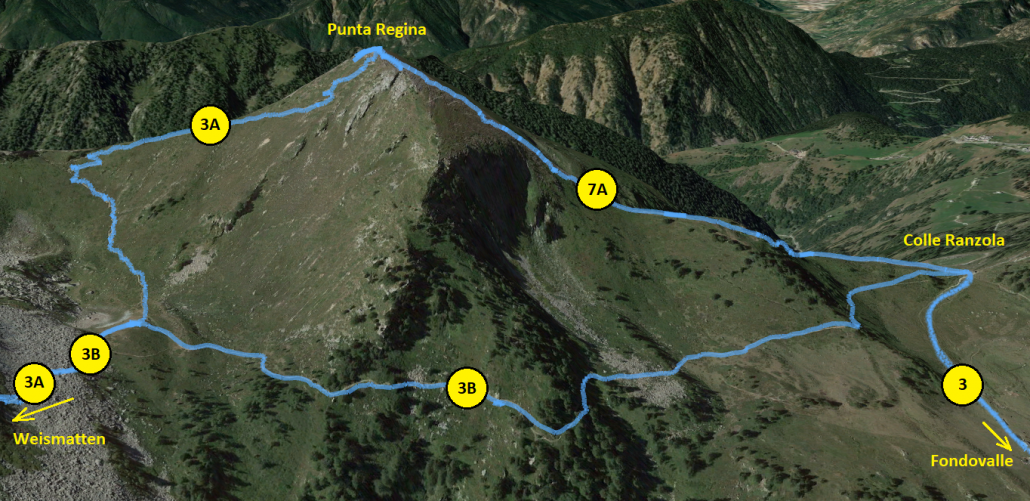
The ring around Punta Regina
