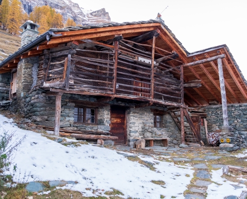
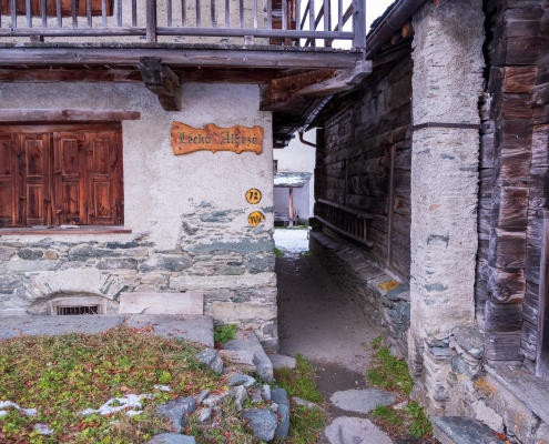
The start is along Trail 2, which you must follow until you reachthe La Cialvrina hotel/restaurant (about 1656m). You pass it, and when you meet a paved hairpin bend you stay on the dirt road.
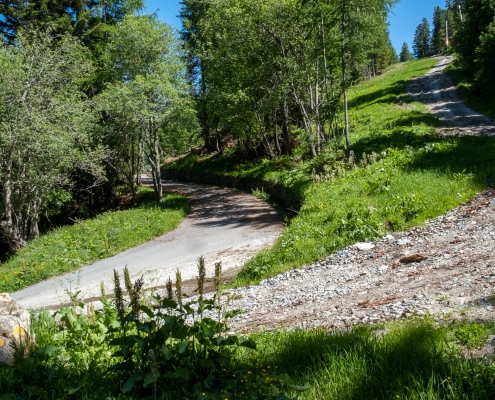
After Cialvrina continue on the dirt road to the right
The section on the dirt road always has a fairly constant gradient, except at one point where it becomes particularly steep.
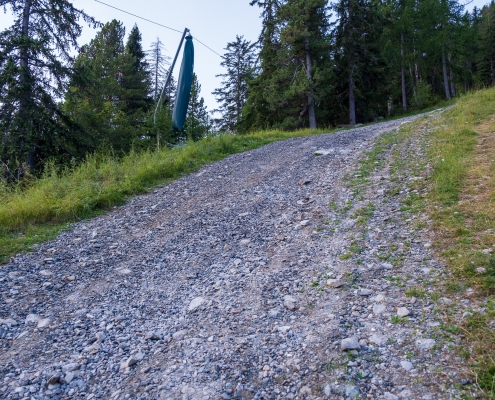
Steep section of the dirt road
Continue for about 600 meters more, until you find a post on the right-hand side indicating a detour to Trail 1W…
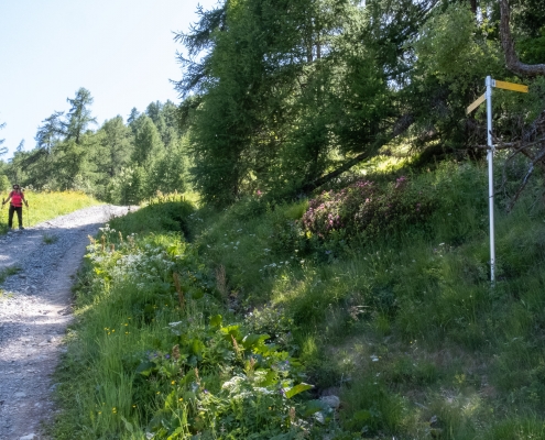
The pole indicating the direction for the 1W to the right
Trail 1W begins from this point (David’s Huts are just above). After a short stretch in the dense forest, at 1825m or so we cross a trail coming up from the right: a marker post tells us that we are crossing Trail 3 (the first of the“tributary” trails), heading to the Ranzola Pass, which from this point continues for a stretch in common with our 1W.
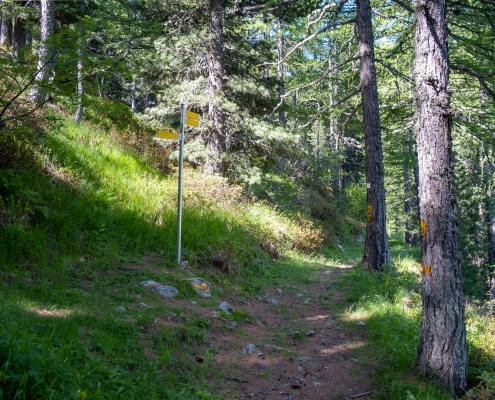
The 3/1W crossroads
Proceed straight ahead for a stretch that is horizontal at first and then descends for a very short distance: you can almost immediately catch a glimpse on the upper right of the huts of thelower Alpe Ranzola (1999m), which you will soon reach.
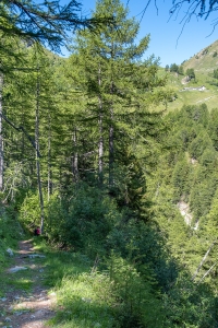
The trail descends for a short distance, the Lower Ranzola huts appear at the top
Gradually move out of the trees, cross two nearly dry streams, at 1864m on guada a small, well-bodied stream and cut across the opposite slope.
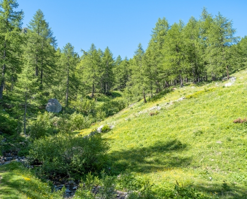
The stream that you wade through before moving to the other side
At the first left turn, at about 1897m, a second junction with trail 1W is crossed, which abandons 3 and heads right, toward Ranzola Inferiore.
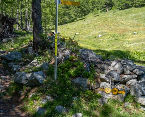
The crossroads between 3 and 1W
The lower Ranzola huts (1999m) are reached…
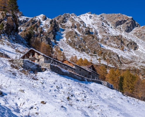
Ranzola Inferiore (1999m)
…after which we reach in order the alpine pastures of Roncké (1878m),where the second tributary, Trail 4 (direct to Bocchetta di Eclou), is located….
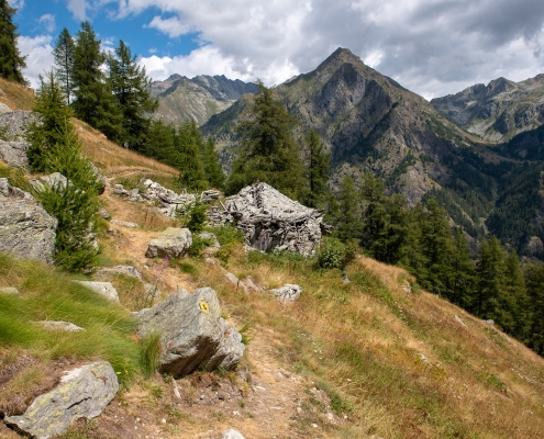
Roncké (1878m)
…and Jatza Alp (1928m), at the third tributary, Trail 4A (which ends here).
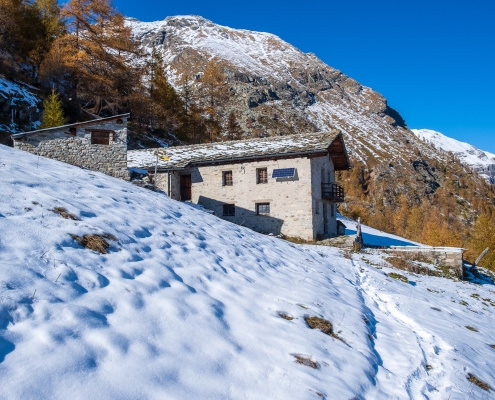
Jatza (1928m)
The arrival at the junction with the fourth tributary, Trail 5 (leading to Valnera Col and then to Punta Valfredda) is followed by a sharp ascent of the trail, about 50m, which flattens out again at the huts of Valnera Inferiore (2053m).
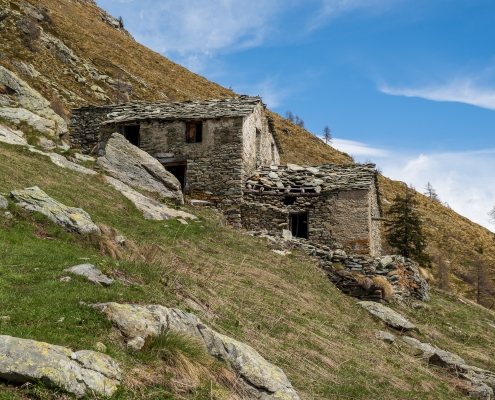
Valnera Inferiore (2053m)
After about 400m from Valnera Inferiore, you will encounter a sign indicating a “mandatory variant” that avoids the old, now-dangerous path.
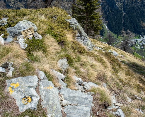
Deviation at 2034m
You descend abruptly in elevation , and ascend again, then cross the old path. In this section a fairly exposed ledge has fissse ropes to facilitate the passage…
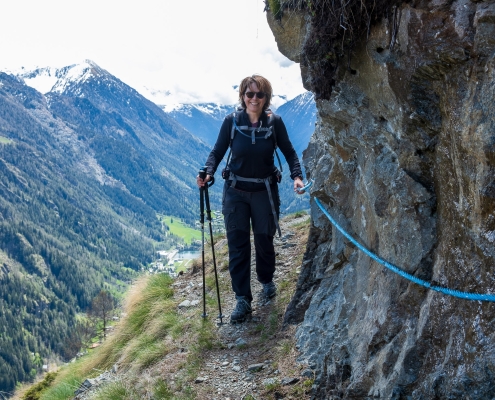
The ledge with the fixed ropes
…ledge in places interrupted by steps carved into the rock.
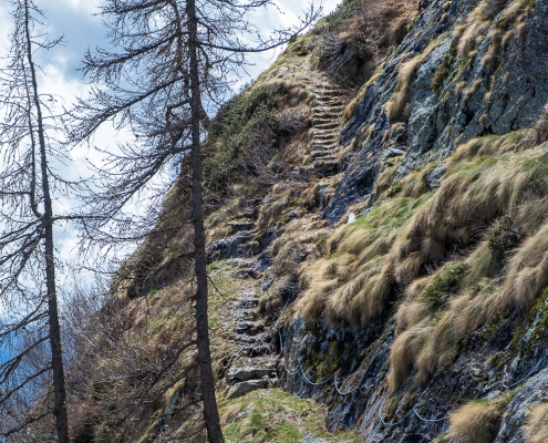
Steps in the rock
Past this section, you are faced with a wide scree consisting of very large boulders, which you easily cross by following the rather frequent yellow bolts.
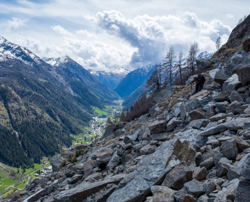
The wide stone
The trail soon comes in sight of Alpenzu Grande.
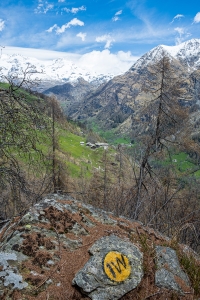
Alpenzu Grande in view
You go around a shoulder, descend to cross the stream coming down from Valfredda….
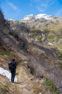
Before crossing the Valfredda creek.
…and you will soon touch the village of Alpenzu Grande (1779m) .
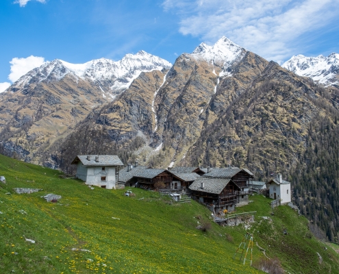
Alpenzu Grande (1779m)
After crossing Alpenzu Grande, follow the markers on the post in the direction of Alpenzu Piccolo: the trail continues almost horizontally, leaving the village.
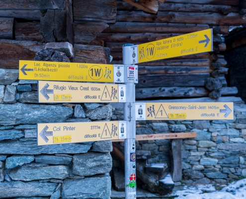
The stake at Alpenzu Grande
Before you get to Alpenzu Piccolo you pass by some very old and wonderful stadel.
We finally come in sight of Alpenzu Piccolo (1807m): the long gallop is coming to an end.
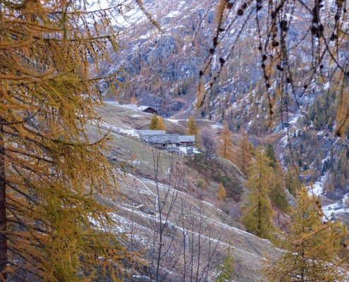
Alpenzu Piccolo in view
The village is narrower but more elongated than Alpenzu Grande. A very similar small church is located there.
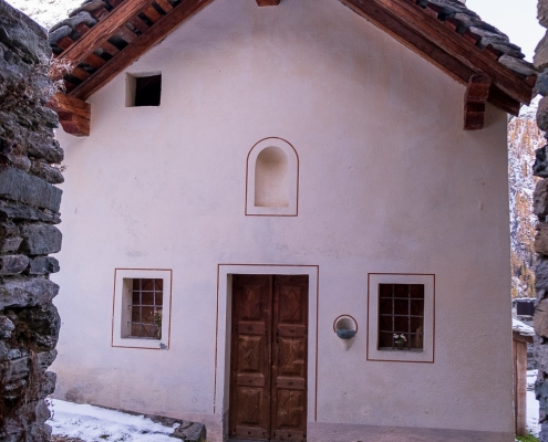
The little church of Alpenzu Piccolo
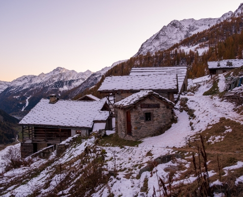
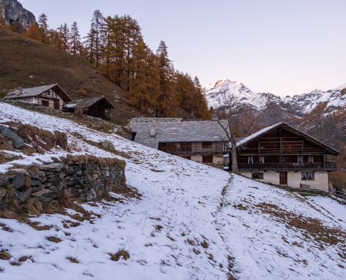
Alpenzu Piccolo at sunset
You can continue to the end of the trail, which turns off as it descends toward La Trinité, but at this point you can take one of the first trails down into the valley, such as the one that leads near the tunnel on the state highway.
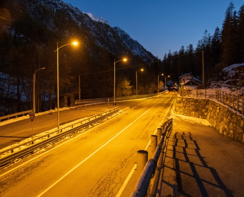
The trail descends near the tunnel on the state highway

