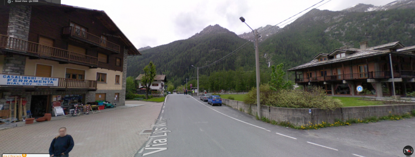
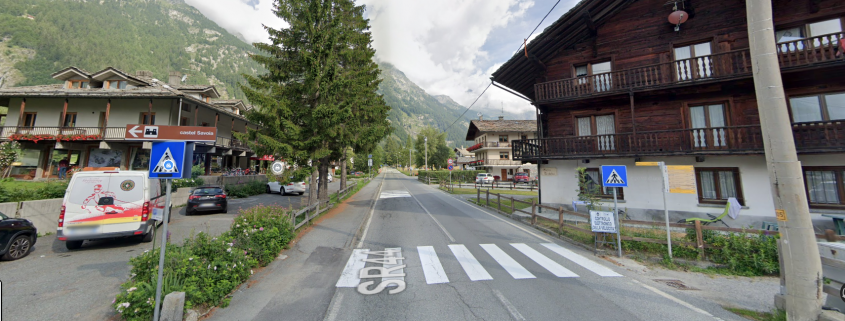
As soon as you cross the road, you will encounter a post with a variety of directions.
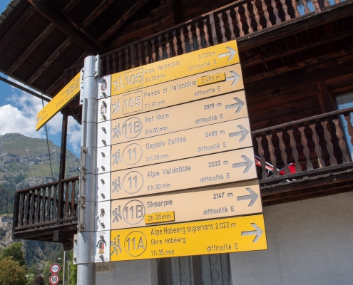
The post with directions to the various trails from Valdobbia
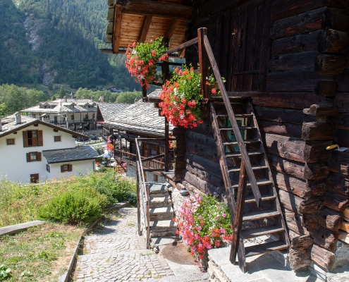
Climbing up through the beautiful little houses of the hamlet of Valdobbia, we arrive at the entrance to Trail 11, which up to the junction with Trail 11B is in common with the route to the Sottile hospice shelter.
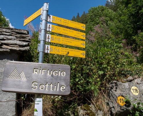
The directions to the hospice shelter Sottile
The trail immediately starts steeply, and will continue in this way until it crosses the valley step. After about twenty minutes, at about 1400m you come to the junction with trail 11B, which you follow to the right.
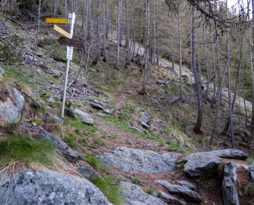
The junction between trail 11 (left) and 11B (right)
Continue on level ground past a scree slope and continue climbing, always with steep turns, until at 1710m you come to a second junction that allows you, following trail 11A to the right, to reach the Hòbéerg huts (Lower and Upper): a detour to the route that can be safely done since, having passed the huts, trail 11A rejoins trail 11B.
We continue along path 11B, then to the left.
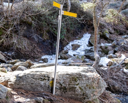
The junction between trail 11B (left) and 11A (right)
You pass at about 1740m the isolated Puzzie Alp.
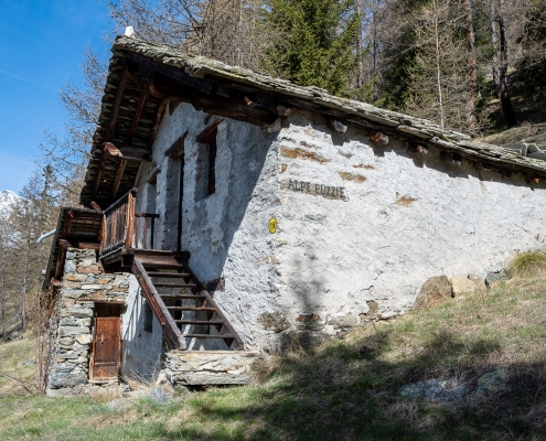
Puzzie Alp, 1741m
When you get to cross the avalanche barriers, the end of the steep valley step is near.
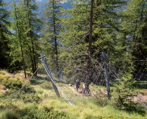
The avalanche barrages
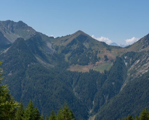
Behind the ascent is a remarkable view of the Weismatten slope and the peaks above (Mont Nery, Mont Taf, Mont Taille and Mont Rena).
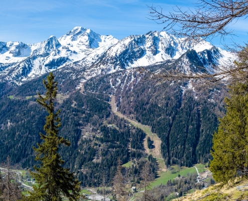
The Weismatten runway and, from left, Mont Nery, Taf, Taille and Rena
At about 2000 meters the valley step ends, and the slope of the trail softens considerably. The view opens toward the upper part of the trail: on the left you can see, inside the notch of the Valdobbia Pass, the small building of the Rifugio Ospizio Sottile (reached via trail 11).
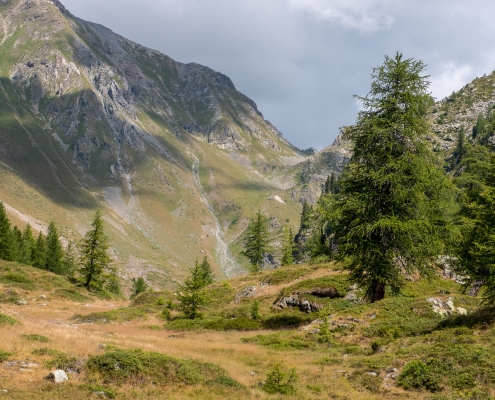
The Ospizio Sottile refuge, at the Valdobbia pass
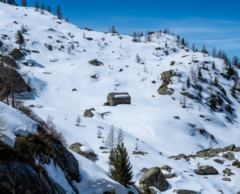
You will pass the huts of Scherpia Inferiore (2050m), where you will encounter a stake marking the meeting point with Trail 11A.
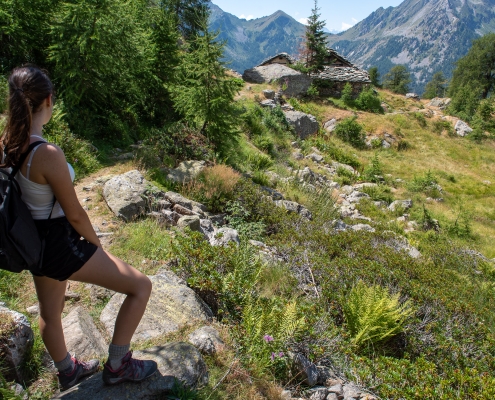
The cabins of Scherpia Inferiore from above
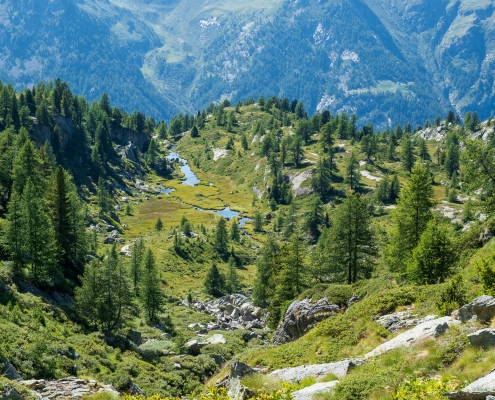
At about 2100 meters the slope becomes almost zero for a stretch: on the right you can see access to a vast peat bog. If you want to take a look at it, it is good to have waterproof boots because the ground is soaked with water.
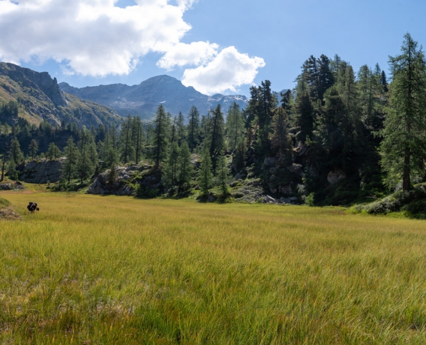
The vast peat bog at 2100 meters
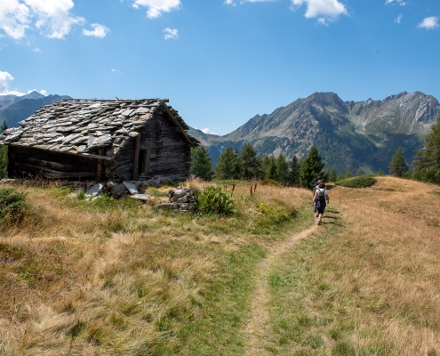
At 2150m you pass the Upper Scherpia huts on the left, and you are almost there.
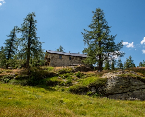
The cabins of Upper Scherpia (2150m)
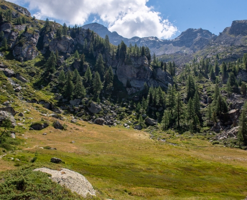
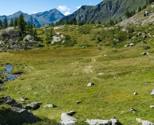
After a hundred meters or so from a rise, the main destination, the Valley of Princes (2150m), a vast flat basin impossible to confuse, is finally visible.
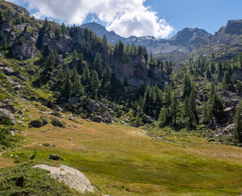
The Valley of the Princes (2150m)
The trail heads toward an expanse of boulders leaning against the wall: from this point a trail that is not easy to spot leads across the scree to the slightly higher Alpe Bronne (2239m), the “official” end of the trail.
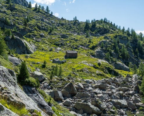
Alpe Bronne (2239m)
From Alpe Bronne the trail continues, crossing the upper basin until it reaches the foot of the peaks above, among which towers Corno Rosso (or Punta Carestia), 2979m, which can be reached with a significantly higher level of physical and technical commitment.
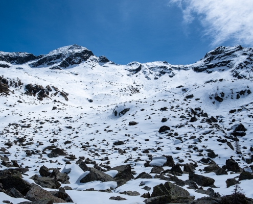
The basin above the Bronne Alp leading toward the Red Horn
Stopping instead at the valley, one can follow the loops of the stream that runs through it from north to south.
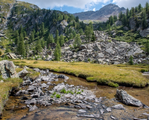
The valley of the princes, the stony ground at the foot of Alpe Bronne, and in the background the Red Horn
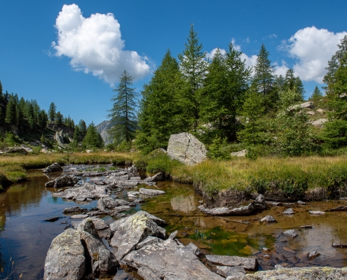
The stream that runs through the Valley of the Princes
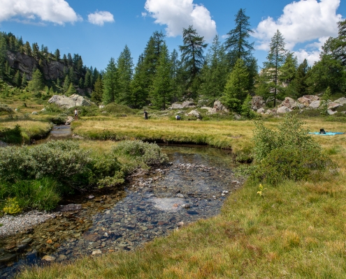
The ideal place for a princely picnic
On the way back, you may decide to take a short loop detour, reaching the junction at Lower Scherpia (2050m), taking trail 11a to the left and then returning to the second junction shown on this page, at an elevation of 1710m.

